project
GeoSemanticCrow
GeoSemantic and Crowdsourced enhanced Virtual Reality for Situational Awareness
February 2023 to January 2025.
Abstract
In quicky-evolving situations such as rescue after natural disasters, preparation to the team operation and information collection needs to happen as quickly as possible. At the same time, the information about location might be constantly evolving.
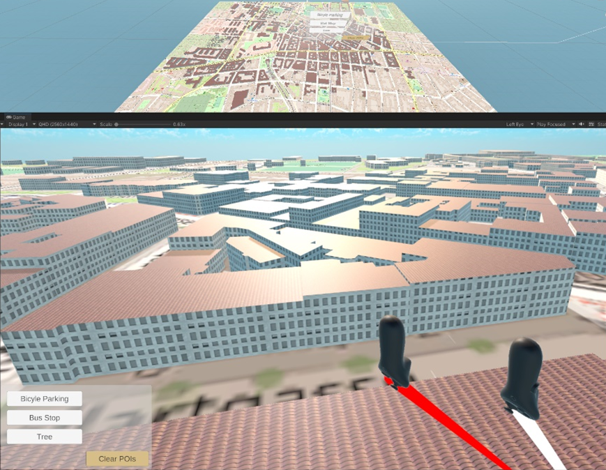
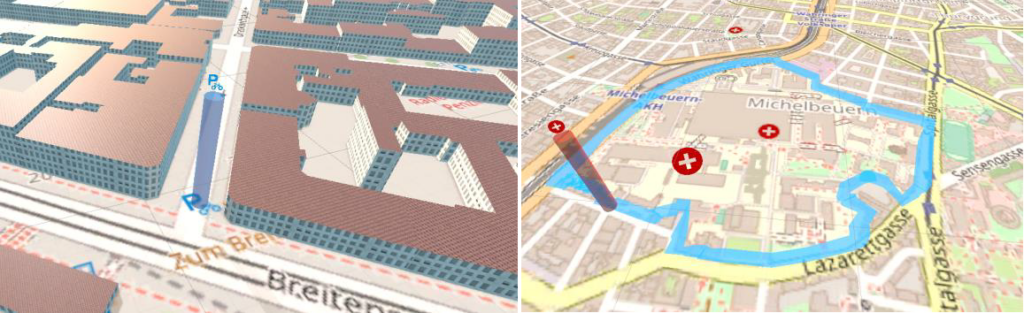
The goal of GeoSemanticCrow is to make use of internet content such as social media posts, forums and news pages collected with web crawling techniques. To present the collected information and relate it to a precise geographic location in team training, we use a Virtual Reality map representation with data interaction and filtering methods.
Project partners
- Technische Universität Graz (Graz Austria)
Funding provided by
- FFG - Österr. Forschungsförderungs- gesellschaft mbH